

Stonecrest Land Use Map
Category
Community Planning, GIS ServicesAbout This Project
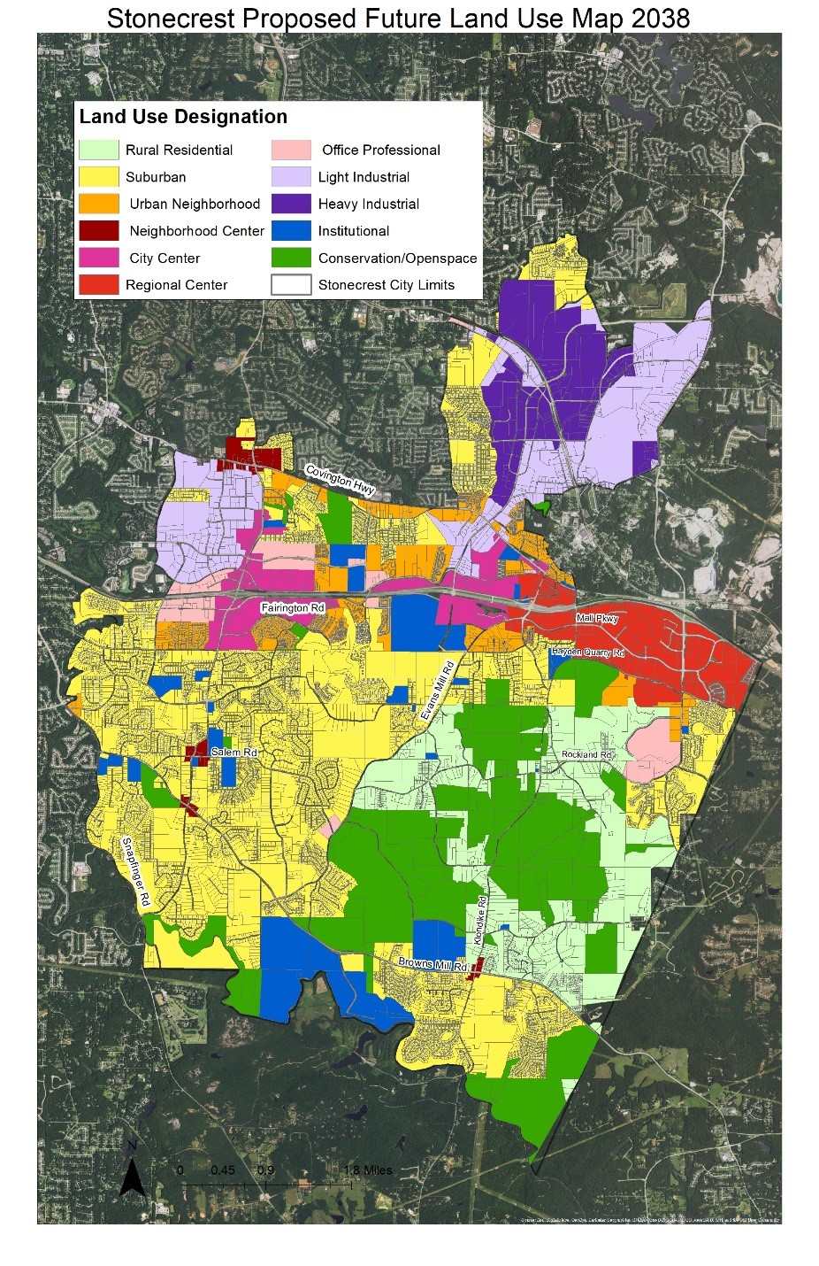
The City of Stonecrest, formed in March of 2017, is home to major commercial and industrial establishments as well as 2,550 acres of the Arabia Mountain National Heritage Area offering miles of biking and hiking trails, wetlands and forests. As a newly formed city one of Stonecrest’s first project was the development of a Comprehensive Plan 2038. Blue Cypress supported the Collaborative Firm team during the third phase of the project with multiple GIS services. Blue Cypress updated the City of Stonecrest’s Land Use Map using ArcGIS both in the office and in real time at a stakeholder meeting. This included reclassification of parcels, creating several new classifications and performing Land Use analysis techniques.